
What would you find if you kept digging down into the ground beneath your feet? It might seem that rock would simply continue below the soil and stone, but at a certain depth the Earth changes into a completely different material. The thin shell we live on comes to an end, and the thick layer that makes up most of the Earth's volume begins.
That boundary is called the “Mohorovičić Discontinuity,” also known as the Moho for short. Put simply, the Moho is the boundary surface that separates the crust, the Earth's outer shell, from the mantle beneath it. No one has ever actually been there, yet thanks to seismic waves we know its depth and shape fairly precisely.
In this article, we will look in turn at what the Moho is, how one seismologist found this boundary in earthquake records, the principle of reading the Earth's interior with seismic waves, and the attempts to drill a hole all the way down to the Moho.
The Boundary Between the Earth's Shell and Its Interior
Where Is the Moho?
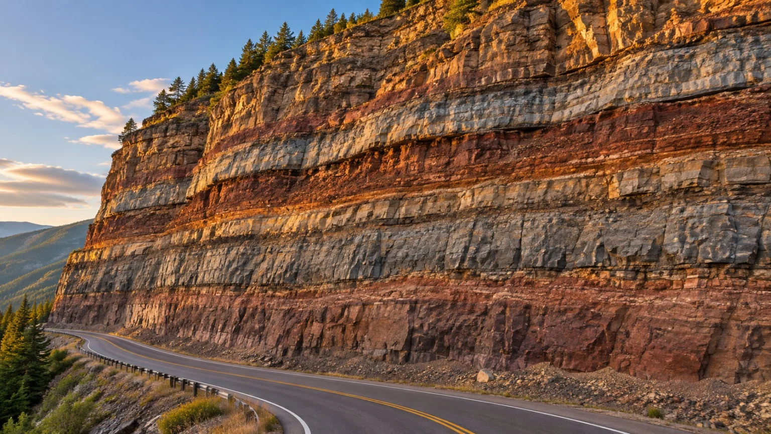
If we compare the Earth to an egg, the crust is the shell, the mantle is the white, and the core is the yolk. The Moho is where the shell meets the white.
(1) Different Depths Under Continents and Oceans
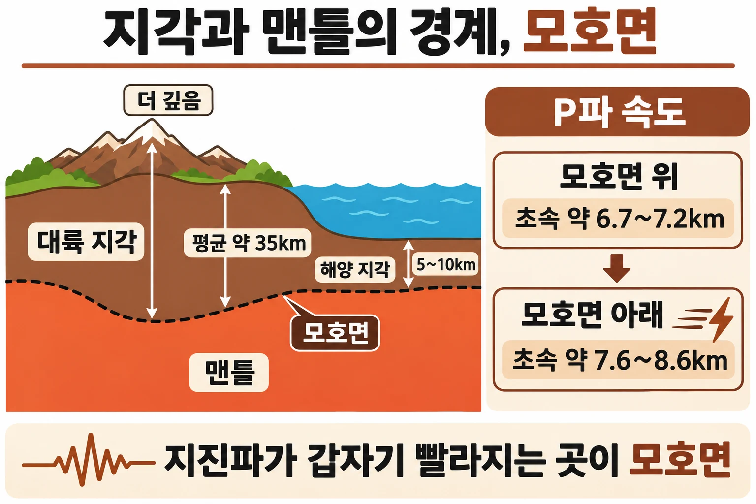
The depth of the Moho varies greatly from place to place. Under the oceans it is shallow, about 5~10km below the seafloor, while under the continents it reaches 20~90km, averaging about 35km. This is because continental crust is much thicker than oceanic crust.
(2) A Boundary That Deepens Under Higher Mountains
Beneath high mountain ranges, the crust sends deep roots downward, so the Moho lies correspondingly deeper. Conversely, beneath mid-ocean ridges the crust is thin, and the Moho rises close to the seafloor.
(3) Different Rocks Above and Below
The lower part of the crust above the Moho is made of rock with properties similar to basalt, while the mantle below is made of heavier, denser rock such as peridotite. This difference in material is what creates the boundary.
A Boundary Found in Earthquake Records
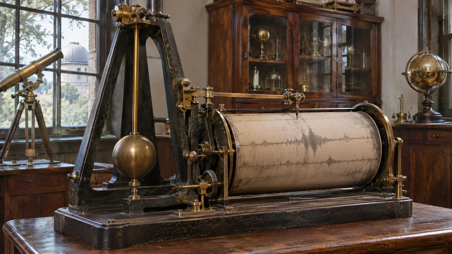
The name Moho comes from the Croatian seismologist Andrija Mohorovičić.
(1) Seismic Waves That Arrived Twice
When an earthquake struck near Zagreb in 1909, Mohorovičić carefully compared the seismic records from several stations. He then discovered that at stations some distance from the source, the same type of seismic wave arrived in two separate groups.
(2) Waves That Came Back by a Faster Route
He interpreted this to mean that one group had traveled straight through near the surface, while the other had come back by way of a faster layer deep underground. The fact that the detoured waves arrive first at more distant stations follows the same logic as reaching a place sooner by taking a fast highway, even if the route is longer.
(3) A Depth Found by Calculation
Based on the difference in seismic wave speeds, he calculated the depth of this boundary to be about 54km. As many later studies supported his result, the boundary came to bear his name.
The Principle of Reading the Earth's Interior with Seismic Waves
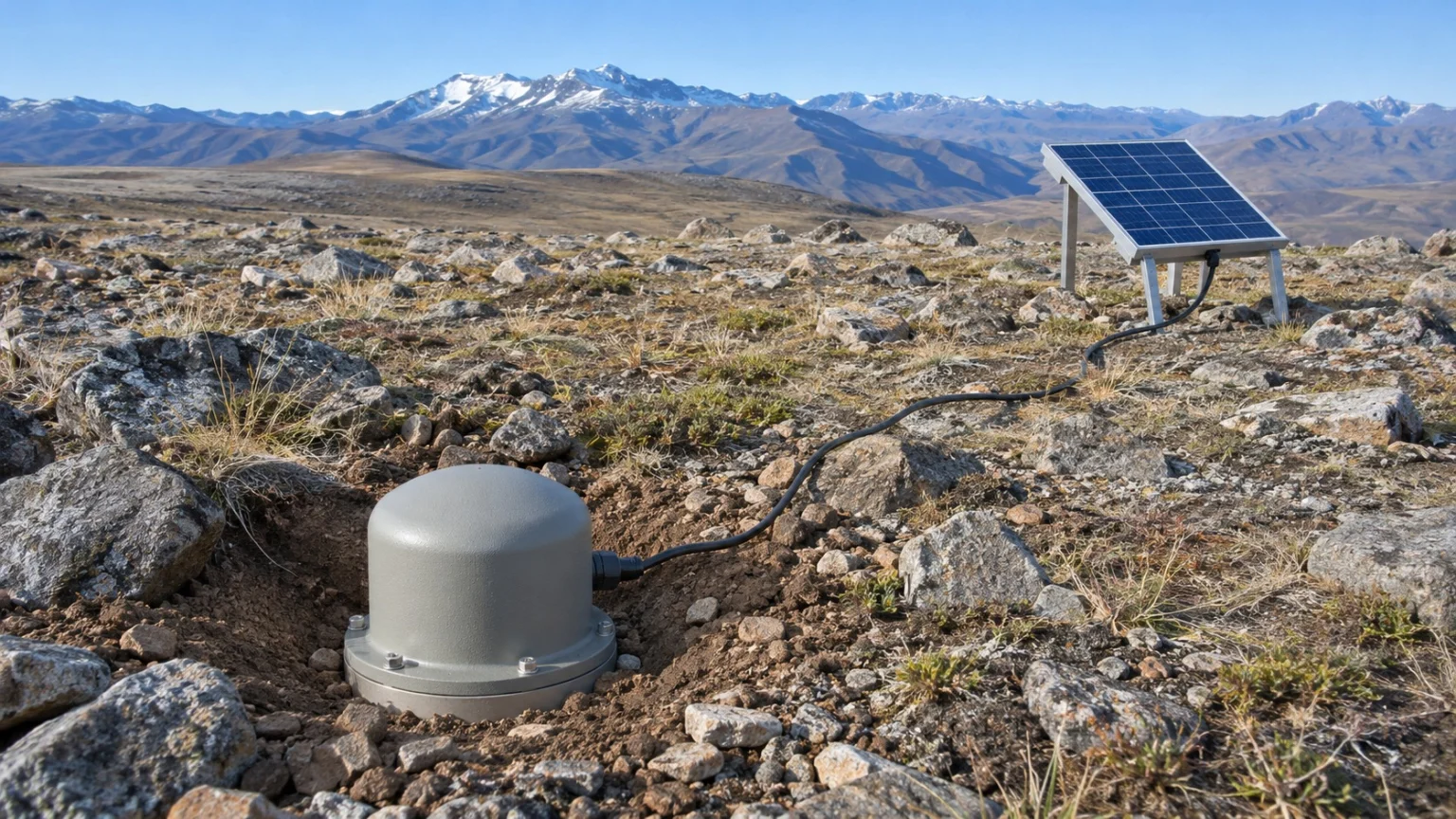
For Earth scientists, who cannot see underground directly, seismic waves are like a flashlight shining into the Earth.
- P-wave (Primary Wave): The first seismic wave to arrive, which travels by pushing and pulling material back and forth.
- S-wave (Secondary Wave): Arrives later than the P-wave and travels by shaking material up and down or side to side.
- Refraction: The bending of a wave's direction of travel when its speed changes as it passes through layers with different properties.
(1) A Speed That Changes at the Boundary
P-waves travel at about 6.7~7.2km per second just above the Moho, then speed up to about 7.6~8.6km per second once they pass through it. This sudden change of nearly 1km per second is the sign that marks where the crust ends.
(2) Not a Line Cut as if with a Knife
Although the Moho is called a surface, it is in fact often a transition zone several hundred m thick. In some places, the boundary shown by seismic waves and the boundary where rock composition changes do not line up, so care is needed when interpreting it from seismic data alone.
The Challenge of Drilling Down to the Moho
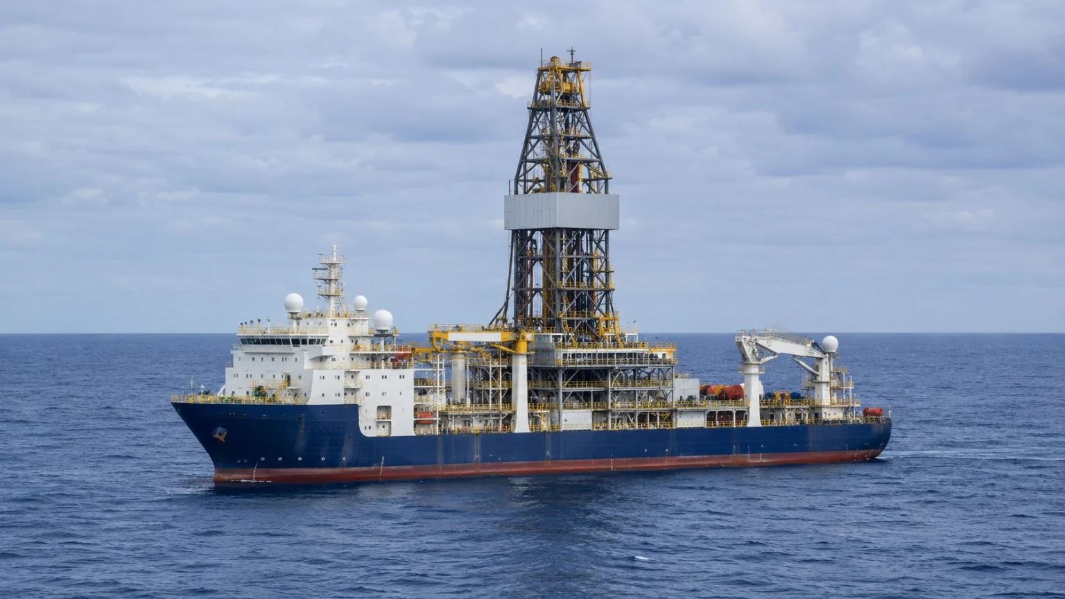
Scientists have long wanted to drill through the Moho and bring up mantle rock to examine directly.
(1) Project Mohole at Sea
In the late 1950s, American scientists launched Project Mohole, a plan to reach the mantle by drilling through the seafloor, where the crust is thin. In 1961, at a site off Guadalupe Island, Mexico, in water about 3,600m deep, they succeeded in drilling 183m below the seafloor and bringing up basalt. However, as cost problems and opposition mounted, the U.S. Congress cut its funding in 1966 and the project came to a halt.
(2) The Deepest Hole Ever Drilled on Land
The former Soviet Union began drilling on the Kola Peninsula in 1970 and reached a depth of 12,262m in 1989. It is still the deepest hole humans have ever drilled, but the continental crust there is much thicker, so it fell far short of the Moho.
(3) Ancient Moho Raised Above Ground
Even without drilling through, nature offers some clues. In ophiolites, where parts of the seafloor crust and mantle have been pushed up onto land by moving plates, an ancient Moho is exposed at the surface, so scientists can walk along it and observe the boundary directly.
No one has ever been to the Moho, but its existence was revealed by reading the tiny time differences left by seismic waves. One seismologist's careful comparison of records more than 100 years ago became the starting point for understanding the structure inside the Earth.
Knowing that even the unseen underground can be read through records of shaking: that is the first step of the science that looks inside our planet.