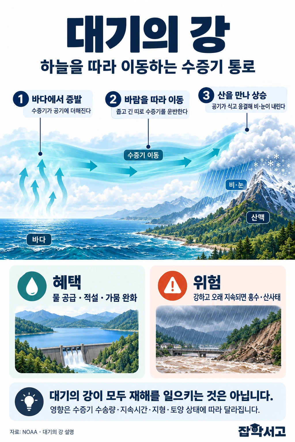
In winter, news from California in the United States often features days of pouring rain and landslides. At such times, forecasters say that ‘a river in the sky is making landfall again’. It is not a river flowing on the ground, but invisible water vapor forming a long band in the sky and flowing thousands of kilometers across the ocean. The term for this phenomenon is ‘atmospheric river’.
Put simply, an atmospheric river is ‘a channel in which a large amount of water vapor evaporated from warm oceans gathers into a long, narrow band and is carried far away along the lower atmosphere’. They are usually thousands of kilometers long but only a few hundred kilometers wide, so in satellite images they really do look like rivers stretching across the sky.
In this article, we will look in turn at how the name atmospheric river came about, how these bands of water vapor produce rain, the categories used to rank their strength, and the benefits and dangers they bring to our lives.
What the band of water vapor in the sky really is
Rivers in the sky found by satellites
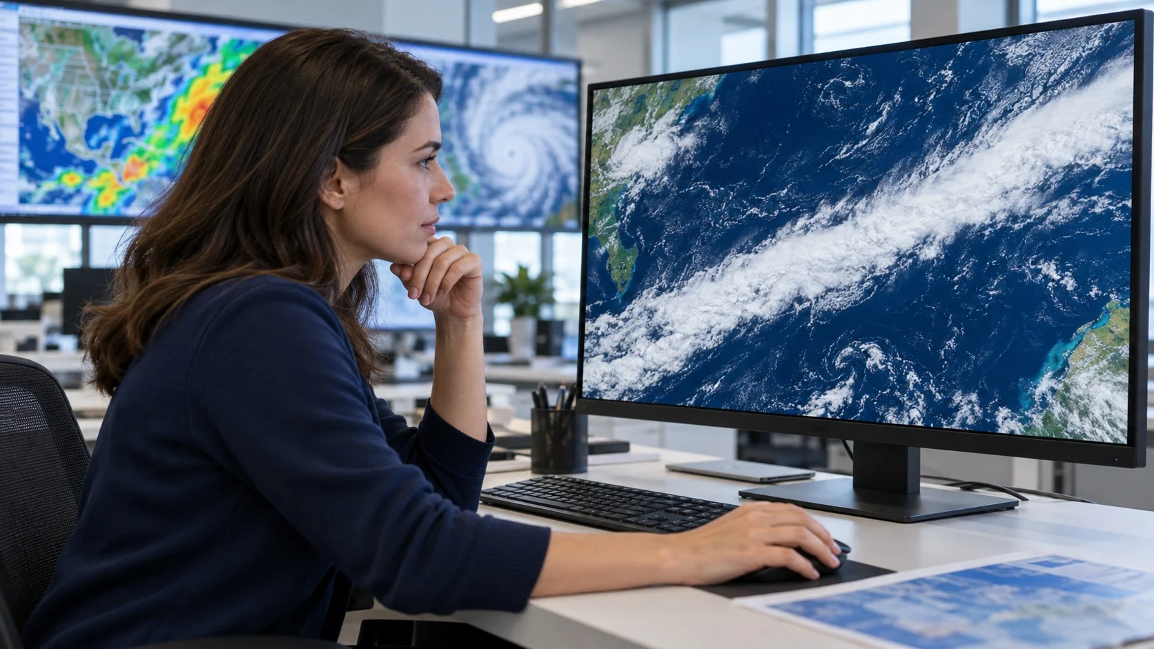
The term atmospheric river was first used in the early 1990s by Reginald Newell and Yong Zhu, meteorologists at the Massachusetts Institute of Technology (MIT) in the United States. While analyzing the flow of water vapor over the oceans, they noticed that the vapor did not move in a broad spread but flowed concentrated in a few narrow bands.
- Advances in observation (Satellite Remote Sensing): In the past, forecasters relied mainly on weather balloons and could not properly measure water vapor over the vast oceans, but once microwave sensors on polar-orbiting satellites began frequently measuring the amount of water vapor over the entire ocean, these bands clearly emerged.
- Another name (Pineapple Express): Atmospheric rivers that stretch from the tropical seas near Hawaii to the west coast of North America are also called the Pineapple Express, after Hawaii’s pineapples.
- Several at once (Multiple Plumes): At any given time, about three to five of these bands are usually flowing simultaneously in each hemisphere.
How they carry more water than the Amazon River
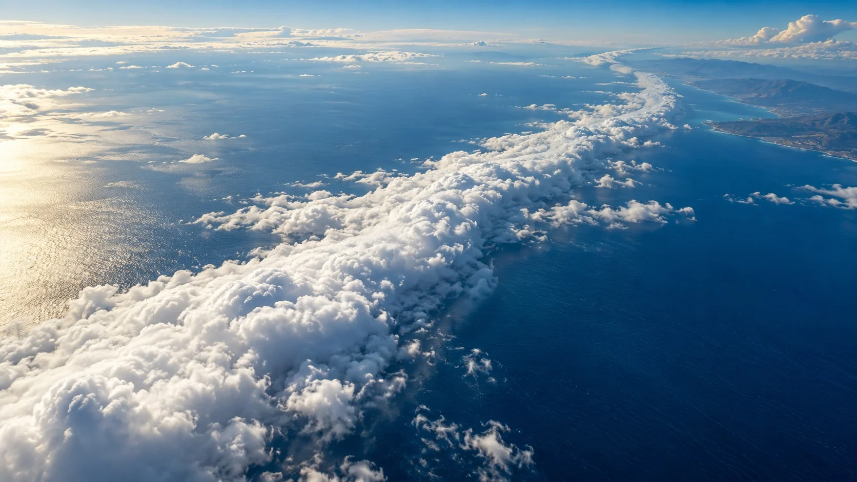
Atmospheric rivers mostly appear together with extratropical cyclones that develop over mid-latitude oceans. When strong winds blow along the area just ahead of a cyclone’s cold front, water vapor rising from tropical and subtropical seas is caught up in those winds and dragged out into a long line.
(1) Narrow bands carry most of it
Atmospheric rivers account for more than 90% of the water vapor transported north and south in the mid-latitudes. Yet these bands take up less than 10% of the length of a full circle of latitude.
(2) Amounts that rival giant rivers
The amount of water vapor carried by a single strong atmospheric river can sometimes exceed the flow of the Amazon, the largest river on Earth. The water simply flows through the sky as a gas instead of a liquid.
(3) When they meet mountains, they pour down as rain
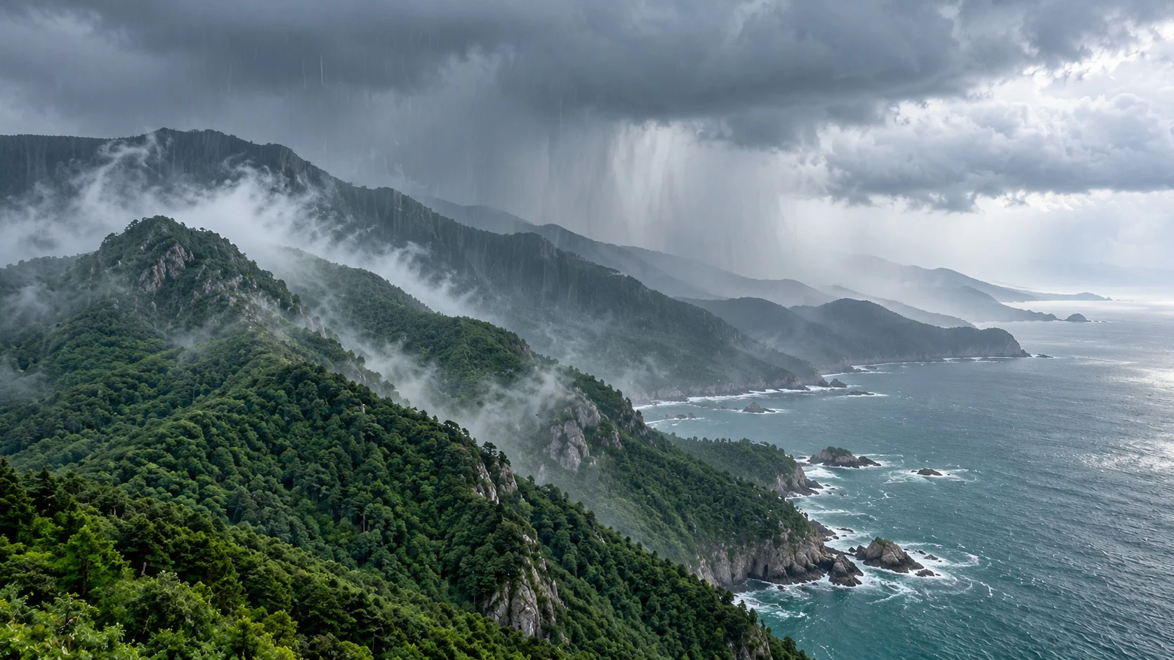
When air laden with water vapor hits coastal mountain ranges and is pushed upward, it cools and forms clouds, releasing enormous amounts of rain or snow in a short time. Even with the same atmospheric river, much more rain falls where the mountains are high and steep.
Five categories, from weak to exceptional
Just as typhoons have categories, atmospheric rivers also have a standard for ranking their strength. In 2019, the Center for Western Weather and Water Extremes (CW3E) at the Scripps Institution of Oceanography in the United States, led by F. Martin Ralph, announced a scale that divides atmospheric rivers into five categories.
Looking at both amount and duration
This scale considers both how much water vapor an atmospheric river carries and how long those conditions last. A category is first assigned based on the amount of water vapor transport; it is then lowered by one level if the event lasts less than 24 hours and raised by one level if it lasts more than 48 hours. This is because, even with the same amount, the longer it lingers, the greater the damage.
From beneficial to hazardous
Category 1 is ‘weak’ and generally brings beneficial rain, Category 3 is balanced between benefit and hazard, and Category 5 is ‘exceptional’ and mainly leaves severe damage. The heavy rain that lasted about 100 hours from late 1996 to early 1997 and caused major damage is cited as a representative example of Category 5.
Rain that ends droughts, rain that brings floods
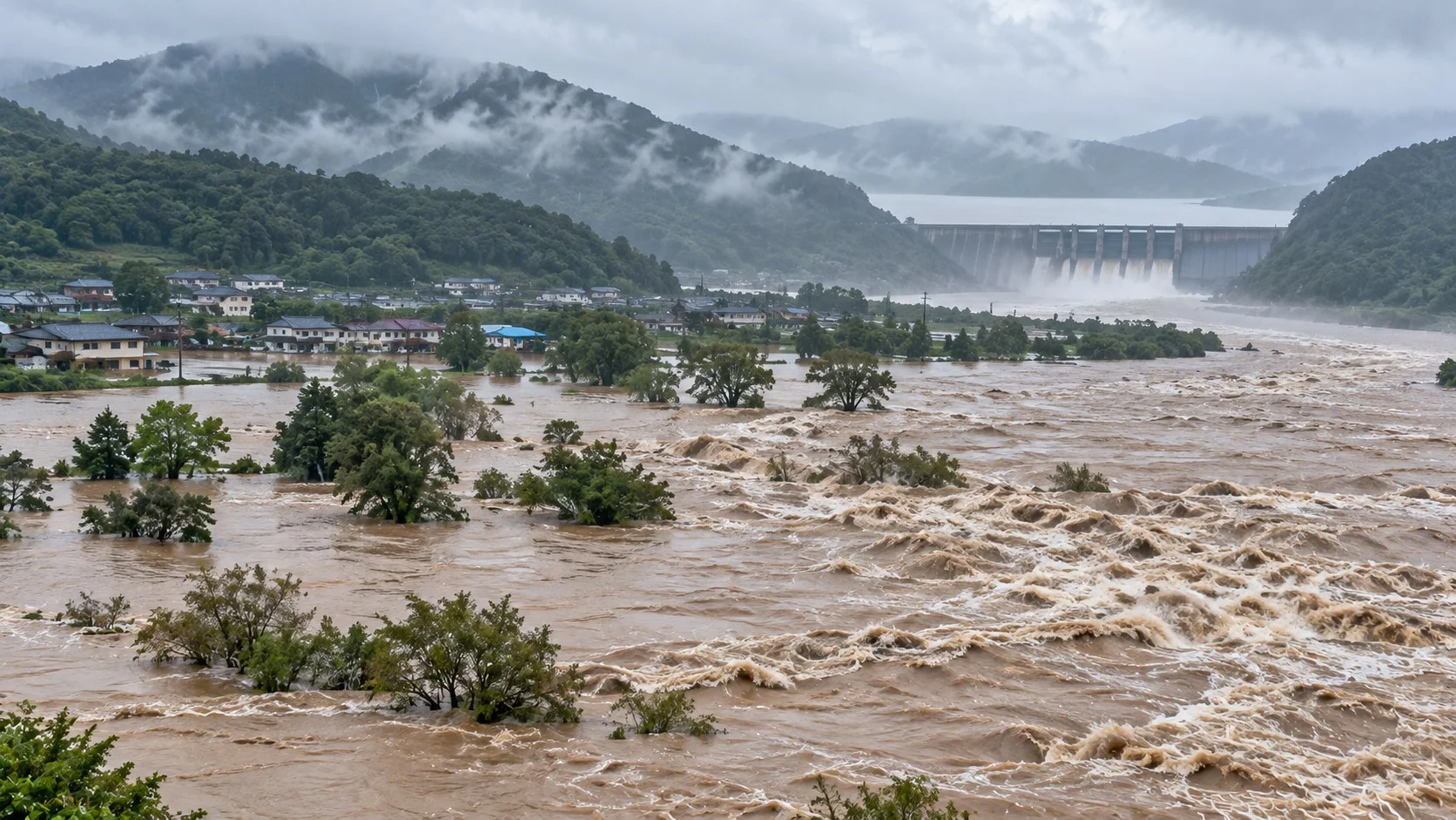
Atmospheric rivers are a welcome source of water and, at the same time, a cause of frightening disasters.
(1) A water supply
On the west coast of the United States, 30–40% of a year’s precipitation and accumulated snow comes from atmospheric rivers. So depending on how many atmospheric rivers arrive, a long drought may end, or, conversely, if they fail to come, a drought may deepen.
(2) Floods and landslides
In November 2021, a series of atmospheric rivers in British Columbia, Canada, melted accumulated snow and caused major flooding. In March 2019 in Iran, a rare atmospheric river that crossed about 9,000 kilometers from the Atlantic caused record flooding that killed 76 people.
(3) The warmer it gets, the stronger they become
As temperatures rise, the amount of water vapor that air can hold also increases. That is why scientists expect that the warmer the Earth becomes, the more likely atmospheric rivers are to make landfall more often and more intensely, and they are studying forecasting and water management measures together.
Atmospheric rivers show that the water we drink and the floods that threaten us come from the same flow in the sky. With advances in satellites and forecasting technology, we can now see days in advance where a river in the sky is heading.
Reading the invisible rivers in the sky: that is the first step in Earth science toward managing both water and disasters.