
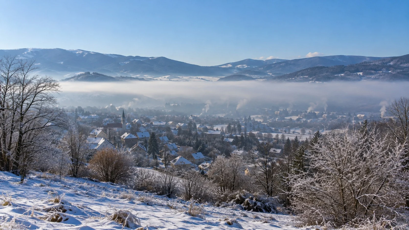
Looking down on a village from a mountain on a winter morning, you may sometimes see hazy fog and smoke lying flat and motionless over the low ground. Smoke from chimneys also fails to rise and instead spreads sideways at a certain height. It looks as if an invisible lid were covering the sky.
This lid is actually a layer of air in which the temperature rises, rather than falls, with height. Normally it gets colder as you go up, and the phenomenon in which this order is reversed is called a ‘temperature inversion,’ while such a layer of air is called an inversion layer. Even when the weather looks clear, it traps air and causes pollutants to build up, so it is an essential concept for understanding weather and the environment.
In this article, we will look in turn at what a temperature inversion is, under what conditions it forms, how it affects our lives, and historical cases and ways to prepare.
Understanding Temperature Inversions
A Layer of Air That Gets Warmer With Height
Earth's atmosphere is heated mainly from the ground. Sunlight first warms the surface, and the warmed surface then heats the air just above it, so in the troposphere the temperature generally falls with height. On average it drops by about 6.5°C for every kilometer you climb, which is also why snow remains on high mountain peaks even in summer.
Under these conditions, the warm, light air below rises and the cold air above sinks, so the air mixes vigorously. Dust and smoke produced near the ground also ride this flow and disperse upward.
A temperature inversion is the state in which this order is reversed. When cold, heavy air lies below and warm, light air lies above, the air becomes very stable and barely mixes vertically. The inversion layer thus acts as a lid that traps the air below it.
The thickness and height of inversion layers vary greatly with conditions. Some form as a thin layer a few dozen meters above the ground and vanish soon after sunrise, while others settle thickly a few hundred meters up and last for several days. The lower the inversion layer, the less air is trapped beneath it, so pollution thickens faster; the longer it lasts, the more pollutants build up.
How Do Temperature Inversions Form?
Temperature inversions have several causes, and the main types are as follows.
(1) Radiation inversion
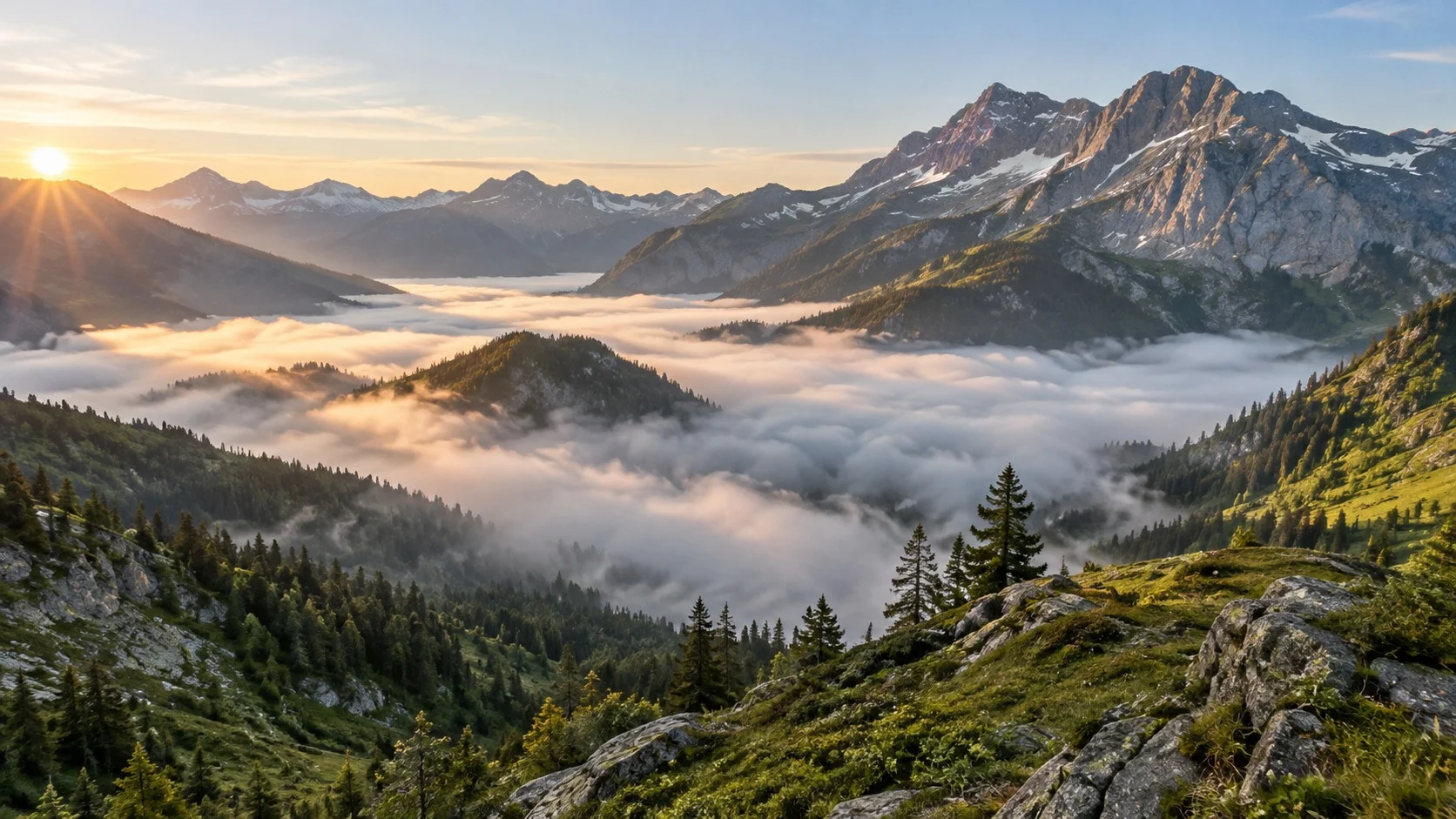
On clear nights with light winds, the ground quickly radiates heat out to space and cools. The air in contact with the ground cools along with it and becomes colder than the air just above, creating the most distinct inversion layer around dawn. In basins and valleys it is even stronger, because cold air flows down and pools in low areas.
(2) Subsidence inversion
Where high pressure lingers, air slowly sinks and is warmed by compression. When this warmed air forms a warm layer up high, the air beneath it can be trapped for several days.
(3) Frontal inversion
When warm air meets cold air, the lighter warm air rides up over the cold air. Along that boundary, a layer forms that is warmer above.
In addition, in coastal areas where warm air flows over a cold sea, inversion layers often form as the cool marine air spreads out underneath.
Effects on Our Lives
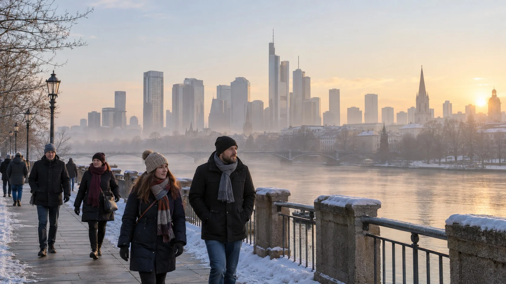
The biggest effect of a temperature inversion is on air quality. Vehicle exhaust, heating smoke, and factory emissions cannot disperse upward and build up near the ground, so fine dust concentrations rise sharply in a short time. This is also related to why the air feels especially murky on calm winter mornings.
It also leaves several marks on the weather.
- Fog: Humid air trapped over the cooled ground condenses into thick fog, which lingers until the sun rises and the inversion layer breaks up.
- Freezing rain: Raindrops that melt in the warm layer above pass through a below-freezing layer of air beneath and become supercooled, then freeze the moment they touch the ground or objects.
- Mirage: The temperature difference between upper and lower air bends light, sometimes making distant ships or islands at sea appear to float.
Inversion layers can also bend sound back down, so that on clear nights distant train sounds or bells can be heard more clearly than usual.
Lessons From History and How to Prepare
The event that made the danger of temperature inversions widely known was the London smog in England in December 1952. From December 5 to 9, high pressure lingered and a strong inversion layer formed, and smoke from coal burned for heating and factory emissions mixed with fog and blanketed the city. About 4,000 people are known to have died that month alone, and one study puts the death toll at 12,000 when the effects over the following months are included.
Prompted by this event, the UK passed the Clean Air Act in 1956 and began reducing coal smoke in cities, and it became a turning point for many countries to regulate air pollution by law.
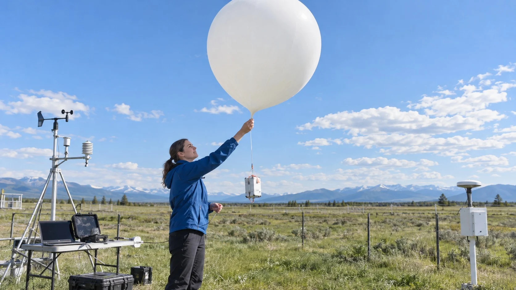
Today, inversion layers are predicted in advance through weather observations and factored into air quality forecasts. Individuals, too, should check air quality information on calm, clear winter mornings and cut back on early outdoor exercise when the air is murky. Factories and cities sometimes take measures to reduce emissions on such days.
Temperature inversions are invisible, but they quietly change the air we breathe and the morning scenery. Knowing that air can be trapped even when the sky looks clear changes how we read weather forecasts and air quality information.
Understanding the invisible lid over our heads: that is the first step toward protecting cleaner air.