
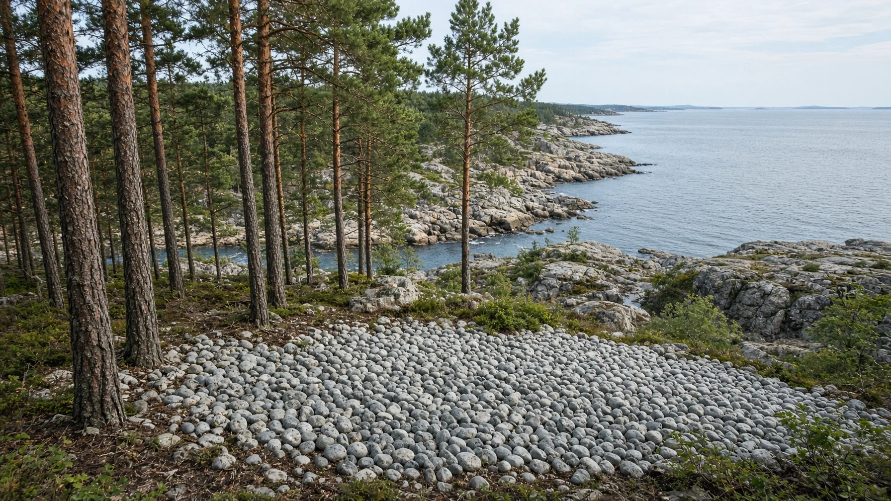
Walk through the forests along the northeastern coast of Sweden and you may come across an old beach on a hillside far from the sea, lined with rows of pebbles worn smooth and round. The sea has not risen to reach it, so how did the marks of waves end up halfway up a mountain? The answer is that the land is still rising little by little, and the theory that explains this movement is isostasy.
Put simply, isostasy is the idea that the rigid crust floats on the denser mantle beneath it and settles into balance at a height that matches its thickness and density. The name comes from the Greek isos, meaning “equal,” and stasis, meaning “standing still.” It is a basic concept of earth science that explains how high mountain ranges and deep oceans can exist side by side.
In this piece we will look in turn at how isostasy came about, the two models that explain differences in elevation, the way land rises after glaciers melt, and where the theory is used today.
How the Land Floats, and the Traces It Leaves
What Is Isostasy?
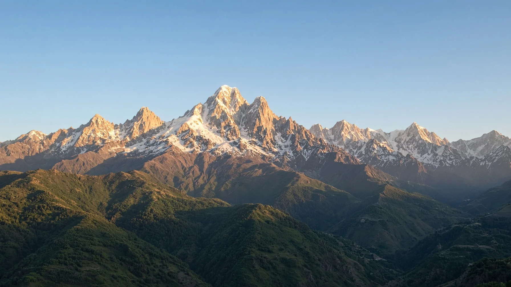
In the 18th century, a French survey expedition measuring the shape of the Earth in Ecuador, South America, expected the gravity of the Andes to pull a plumb line sideways. In reality, however, the line tilted far less than calculated. The same puzzle appeared in the 19th-century survey of India, this time around the Himalayas. Scholars came to think that light rock reached deep down beneath the mountains like roots, offsetting the visible weight of the peaks.
In 1855, the British astronomer George Airy and the clergyman and mathematician John Henry Pratt each put forward a hypothesis to explain this phenomenon. Then, in the 1880s, the American geologist Clarence Dutton used the word “isostasy” as a name for this state of balance.
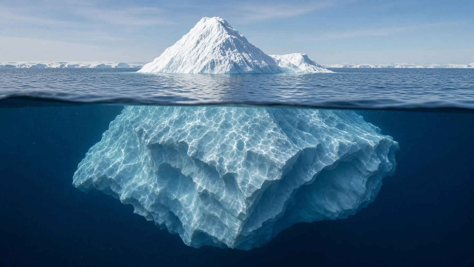
(1) Understanding the principle through icebergs
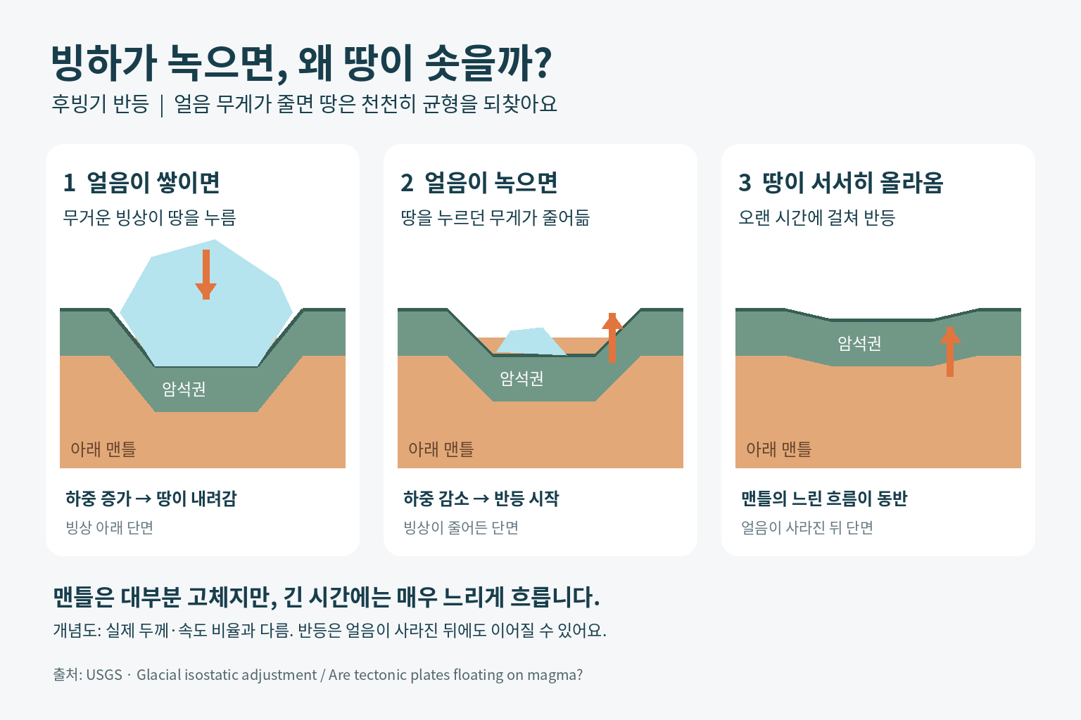
An iceberg floating in the sea always has a fixed proportion of itself under water. If snow piles up on top, it sinks deeper; if the top melts, the remaining ice rises. The crust likewise floats on the mantle and adjusts its height whenever its weight changes.
Two Models That Explain Elevation
Mantle rock has a density of about 3,300 kg per cubic meter, while continental crust has about 2,750 kg, so the crust is lighter. Because of this difference, the crust floats partly submerged in the mantle, and two models differ over what determines its height.
- Airy model (Airy-Heiskanen Model): assumes the crust has the same density everywhere but varies in thickness. The higher the mountain, the deeper the root that extends beneath it.
- Pratt model (Pratt-Hayford Model): assumes that rock density, rather than crustal thickness, varies from place to place. Areas made of lighter rock stand higher.
- Flexure model (Lithospheric Flexure): holds that a rigid plate bends like a plank under a load, spreading the weight over a wide area.
(1) The deep roots of mountain ranges
Continental crust averages about 40 km thick, but where continents collide it can reach 80 km. According to the Airy model, a mountain’s root is about five times its height, so a mountain 8 km high would have a root 40 km deep.
(2) The height of undersea mountain ranges
Mid-ocean ridges, the long mountain ranges on the seafloor, sit where the mantle below is hot, expanded, and therefore lighter, and they are well explained by the Pratt model.
Post-glacial Rebound: Land Rising as Glaciers Melt
About 20,000 years ago, at the height of the last ice age, northern Europe and North America were covered by ice sheets up to 3 km thick. Land that sank under this weight has been slowly rising again since the ice melted, a process called post-glacial rebound.
[Case 1] Sweden’s High Coast, the world’s greatest uplift
On the High Coast of Sweden’s Gulf of Bothnia, the land has risen about 285 m since the glaciers retreated, the largest rebound known so far. The area was inscribed as a UNESCO World Heritage Site in 2000, and in 2006 the listing was extended across the water to Finland’s Kvarken Archipelago. The northern Gulf of Bothnia is still rising by up to about 11 mm a year, and thanks to this Finland’s land area grows by about 7 square kilometers every year.
[Case 2] Lake Mälaren, which went from sea to lake
Lake Mälaren, next to Stockholm, was originally part of the Baltic Sea. As the land rose, it was cut off from the sea around the Middle Ages and became a freshwater lake, and Stockholm grew up at its outlet. Beyond the edges of the former ice sheets, by contrast, the land is sinking, and along the east coast of the United States old beaches now lie under the sea.
Where Isostasy Is Used Today
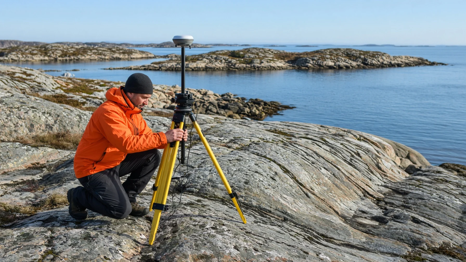
Isostasy is an old theory, but it is still used in many fields that help us understand the Earth. The real Earth is a dynamic system in which the mantle flows slowly and plates move, so some regions, such as the Himalayas, are out of balance. Scientists therefore use the theory as a baseline for measuring how far a region departs from balance.
(1) Predicting sea-level change
The same rise in sea level affects coasts differently depending on whether the land there is rising or sinking, so accurate predictions require factoring in the rate of rebound.
(2) Gravity measurements and satellite observation
Precision gravimeters on the ground, satellite positioning stations, and gravity-measuring satellites continuously record the movement of mass underground and the rate at which the crust is rising.
(3) Mountains and erosion
When mountaintops wear away and lose weight, the whole range rises a little, so mountain ranges keep their height longer than you might expect.
(4) Land ownership and use
In Finland, where the land is rising, the law even spells out who owns new land that emerges from the sea, showing how closely the phenomenon touches everyday life.
Isostasy tells us that vast continents and mountain ranges rise and sink on the mantle, constantly seeking balance. The old beaches halfway up hillsides and Lake Mälaren, which went from sea to lake, are vivid evidence that even the land moves according to its weight.
Understanding that the ground beneath our feet is never truly still: that is the first step in reading a living Earth.