
Along a single mountain range, one side can be covered in thick forest while the other barely supports grass. The difference comes from where rain falls and where it stops as it “crosses” the mountains. Orographic precipitation pours down on the windward side, while rainfall drops sharply on the leeward side. This pattern is called the rain shadow effect.
Put simply, the rain shadow effect is what happens when moist air is forced up the windward slope of a mountain range and produces rain or snow, and then, after crossing the range, sinks down the leeward slope, dries out, and leaves a clear drop in precipitation. The American Meteorological Society (AMS) Glossary of Meteorology likewise defines a rain shadow as an area on the lee side of a topographic barrier where precipitation is markedly reduced compared with the windward side. It often comes with sinking air like that of a foehn, but the heart of a rain shadow is not how hot the wind is but the “shadow of rain” itself.
In this article, we will look in turn at the orographic lifting and adiabatic processes that create a rain shadow, the contrast between windward and leeward slopes, easy examples from around the world and the Korean Peninsula, and finally how it differs from the foehn and how to read it in everyday life.
The Climate Beyond the Mountains Shaped by the Rain Shadow Effect
Orographic Lifting and What a Rain Shadow Means
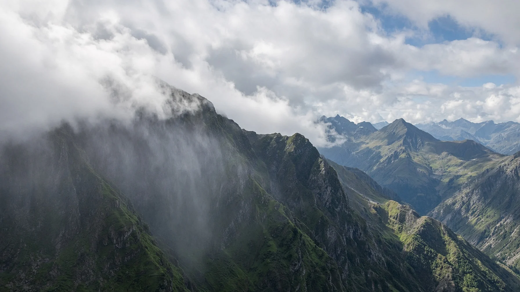
The starting point of the rain shadow effect is orographic lifting. When a mountain range stands in the way of the wind, the air cannot easily flow around it and is pushed up along the slope. Rising air expands and cools adiabatically, and once it reaches its dew point, water vapor condenses into clouds. As the droplets grow, they fall as rain or snow on the windward slope.
Having already lost much of its moisture, the air that crosses the mountains then descends the leeward slope. As it sinks, it is compressed and warms adiabatically, its relative humidity drops, and clouds thin out or evaporate. As a result, the downwind side becomes a “shadow of rain,” with far less precipitation than even flat land the same distance away.
- Windward Slope: the side the wind blows up, where orographic precipitation is concentrated.
- Leeward Slope: the side the wind descends, where the rain shadow appears.
- Orographic Precipitation: rain or snow produced by air forced upward by terrain.
Why Only One Side Dries Out
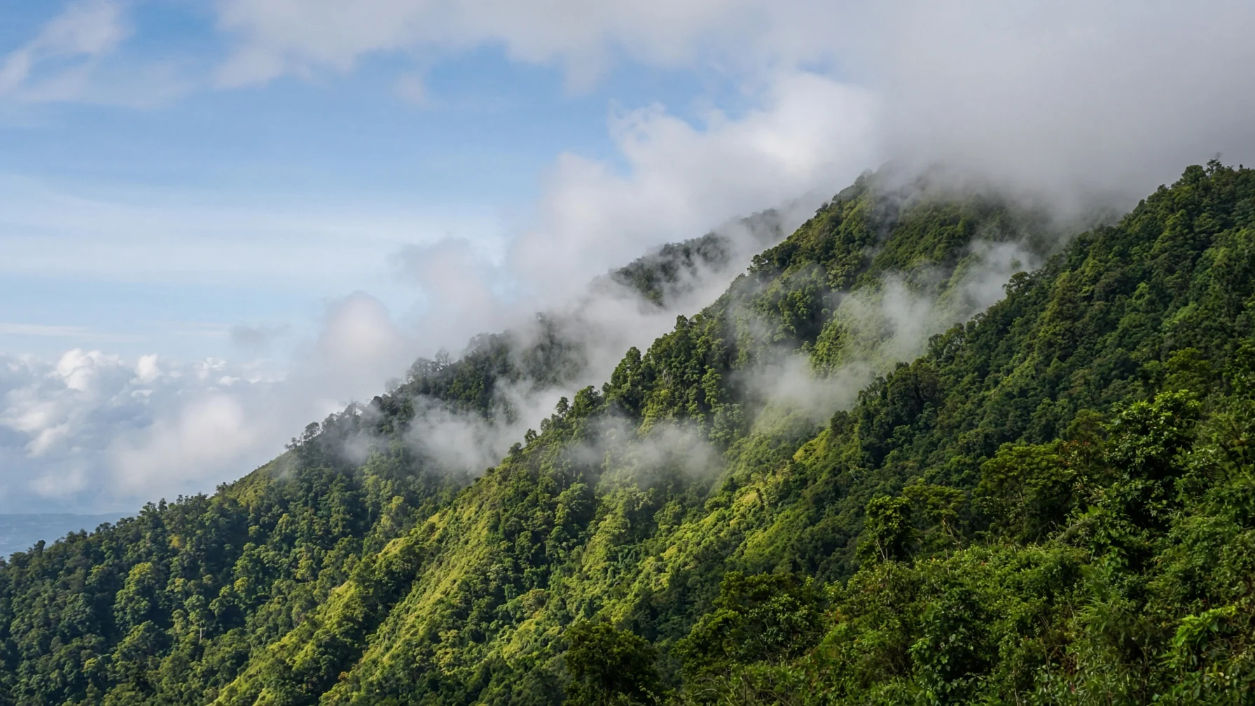
The same air crossing a mountain does not share its rain equally between the two sides because the thermodynamics of rising and sinking are not symmetrical. On the way up, cooling and condensation “make” precipitation; on the way down, warming and evaporation “clear away” the remaining clouds. People often describe it as air that has been wrung out as it crosses the mountains.
(1) Forced Lifting Brings Condensation Sooner
Over flat ground, air may cool slowly without forming clouds, but on a mountainside it rises high and fast and reaches its dew point more easily. The effect is especially clear when warm, moist wind blowing in from the coast meets high mountains.
(2) Precipitation Itself Dries the Air
When rain falls on the windward side, the amount of water vapor left in the column of air goes down. By the time it crosses the mountains, the air is already close to a “wrung-out mop,” and there is little material left to build clouds again downwind.
(3) Warming on Descent Lowers Relative Humidity
Even with the same absolute amount of water vapor, relative humidity falls as temperature rises. When air warms on the leeward side, clouds struggle to persist, and precipitation that reaches the ground becomes rare. The strength and extent of a rain shadow vary with the height of the mountains, the shape of the ridges, and the direction of the prevailing wind.
Easy Examples from Around the World and the Korean Peninsula
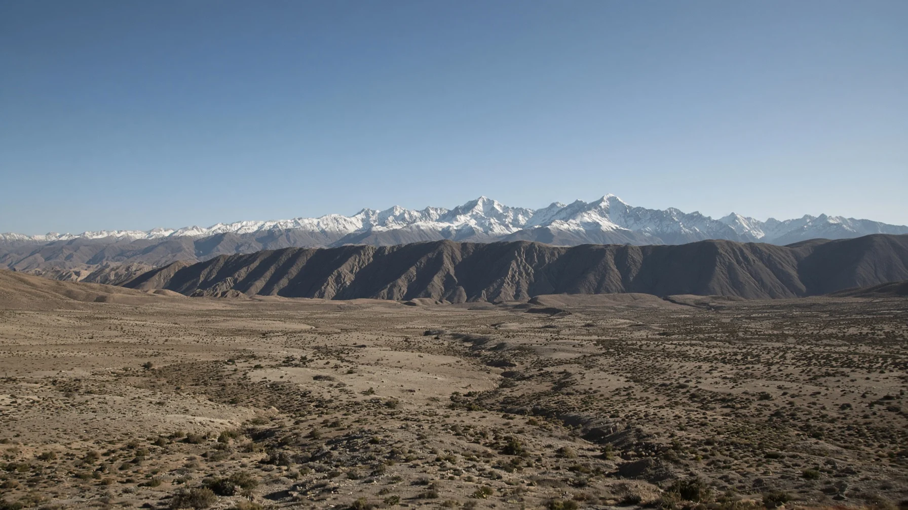
A rain shadow is not just a textbook diagram but a force that draws climate boundaries on a continental scale. The Atacama Desert, lying on the leeward side of the Andes, is a world-famous arid region, and behind it is a structure in which the high Andes block moisture arriving from the east (the Amazon and the Atlantic), combined with the cold Humboldt Current and a subtropical high-pressure system. Sharp contrasts in precipitation between the windward and leeward sides are also observed east of the Cascades and the Sierra Nevada in North America, and around the high islands and mountain ranges of Hawaii and Japan.
The same principle can be read on the Korean Peninsula. When air flows across the Taebaek and Sobaek Mountains, orographic precipitation increases on the windward side, while the other side tends to stay relatively dry. Around Hallasan on Jeju Island, too, the distribution of rain and clouds is reported to differ from slope to slope. However, when the monsoon wind changes direction, “which side is in the shadow” changes with it, so a single map cannot settle which places are permanently dry or wet.
Points to Note in These Examples
- Orographic Barrier: the role of mountain ranges and plateaus in forcing air upward.
- Prevailing Wind: the main direction of the wind, which decides which slope becomes the windward side.
- Climatic Contrast: the result in which precipitation, vegetation, and farming conditions diverge even over short distances.
How It Differs from the Foehn and How to Use It in Daily Life
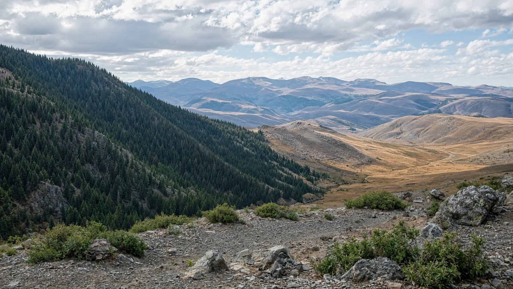
The rain shadow and the foehn often appear together in the same story of air crossing a mountain. Once the air has poured out its rain on the way over and the clouds have vanished, the dry air warms strongly as it descends, making a foehn likely. Their focus, however, is different. If the foehn refers to a “warm, dry wind,” the rain shadow refers to the “zone of reduced precipitation on the leeward side.” If the sinking air is weak, or stagnant air lingers in the lower layers downwind, the rain shadow can also weaken, so not every mountain crossing creates a shadow of the same strength.
(1) Read Rainfall Maps in Weather Apps Together with Terrain
If showers keep hitting only one side of a mountain even within the same city or province, it helps to make a habit of thinking first about that day’s wind direction and which slope it faces.
(2) Understand the “Short-Distance Differences” in Travel and Farming
Feeling the humidity change after crossing just one mountain pass is the everyday version of the rain shadow and orographic precipitation. Telling the windward side from the leeward side when planning crops, water management, or a hike brings your expectations closer to reality.
(3) Don’t See Deserts and Forests Only as Opposites
A rain shadow is not a result determined by latitude or climate zone alone; it is also the result of a moisture budget drawn up by wind and terrain. When reading a climate, you need a view that also takes in where the mountain ranges are.
The rain shadow effect is an interaction between terrain and atmosphere in which moist air is forced up a mountain range, leaves its rain on the windward side, and then sinks and dries on the leeward side, reducing precipitation there. More than the height of the mountains, first asking which side the wind rises on and which side it comes down helps you read a climate more accurately.
Before the air crosses the mountains, first look at which slope the wind chooses—that is the first step toward applying the rain shadow effect wisely in everyday life.