
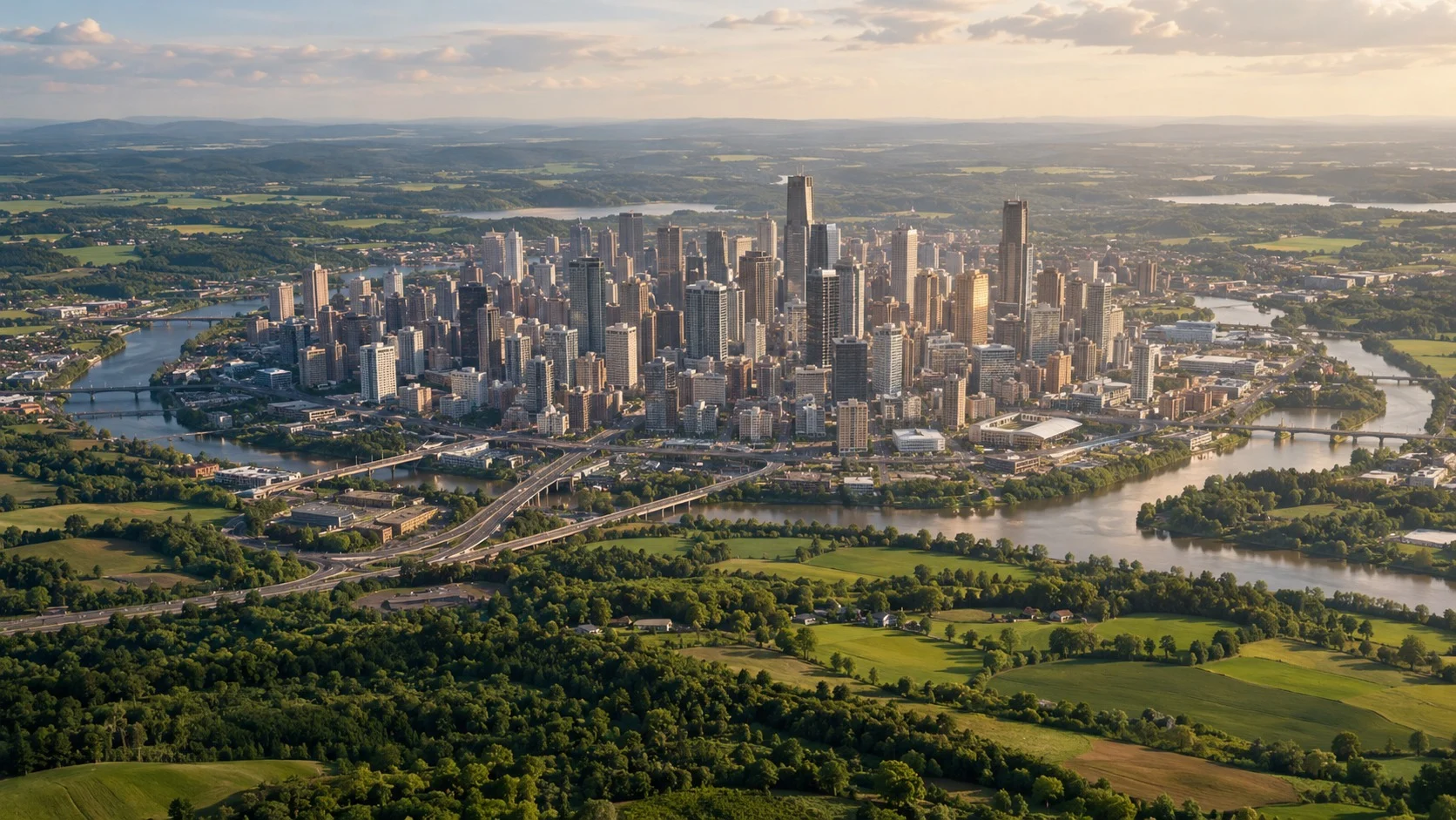
On a midsummer night, leaving the downtown office for a home in the suburbs, the air itself can feel different. Under the same sky on the same day, streets packed with asphalt and buildings stay muggy after sunset, while neighborhoods with woods and fields feel distinctly cooler. The classic urban-climate idea that explains this gap is the urban heat island.
Put simply, an urban heat island is the pattern in which air temperatures in a city run higher than in the surrounding suburbs or countryside. Drawn on a map of isotherms, the hot core looks like an island floating in cooler surroundings—hence the name. As climate change makes heat waves more common, the phenomenon ties directly to health and energy use.
In this piece we will look in turn at what the urban heat island means and how it was first recorded, how cities trap heat, how the pattern shifts between day and night, and finally the ways to cool a city and where those fixes fall short.
Heat Cities Make Themselves: The Urban Heat Island
What Is an Urban Heat Island?
The first person to record scientifically that cities run warmer than their surroundings was the British meteorologist Luke Howard. In The Climate of London, published in 1818, he concluded that central London stayed warmer than the outskirts, and that the gap stood out most at night. He traced the extra heat to a large population and the fires used for heating—an early, quantitative case that urban activity itself can change climate. He is the same figure famous for classifying clouds.
Researchers today often split heat islands by what they measure.
- Surface Heat Island: roofs, roads, and other surfaces themselves grow hot; it peaks in strong daytime sun.
- Atmospheric Heat Island: the air at the height where people breathe warms up; it becomes clearer after sunset.
According to summaries from the U.S. Environmental Protection Agency (EPA), air temperatures in U.S. cities run about 0.5–4°C higher than nearby areas by day and about 1–3°C higher at night. Larger, denser cities tend to show bigger gaps.
How Cities Trap Heat
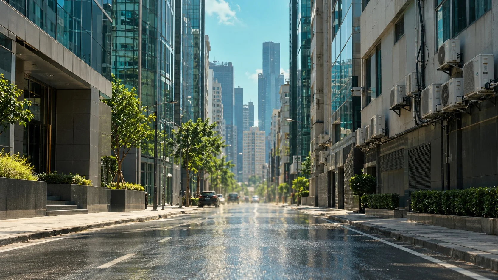
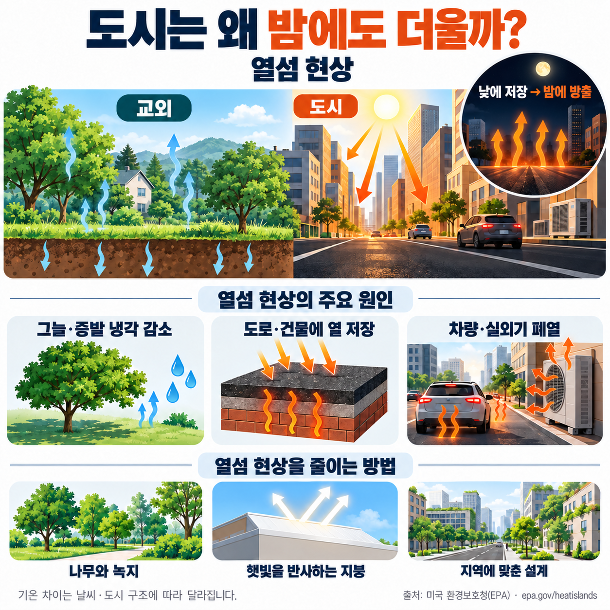
A heat island is not one cause. It is the joint result of a city’s materials, shape, and activity. As natural ground gives way to built surfaces, the way heat is taken in and given off changes.
(1) Impervious surfaces and missing green
Woods and soil cast shade and cool through leaf transpiration and ground evaporation. Roads, parking lots, and roofs—impervious surfaces that water cannot soak into—barely cool by evaporation and heat up instead.
(2) Low albedo and heat storage
Albedo is the share of sunlight a surface reflects. Dark materials such as fresh asphalt absorb most of the sun; concrete and brick store that heat and release it slowly.
(3) Urban geometry
Tall buildings along narrow streets form canyon-like spaces. Wind weakens there and little sky remains in view, so heat built up by day struggles to escape into the night sky.
(4) Anthropogenic waste heat
Cars, outdoor air-conditioner units, buildings, and factories keep dumping heat. On hot days, running more AC can warm the outdoors further—a feedback loop.
How Heat Islands Shift by Day, Night, and Season
Heat-island intensity is not constant all day. At midday, roofs and roads in direct sun climb sharply in surface temperature; the EPA notes that ordinary roofs can run up to about 37°C hotter than the surrounding air.
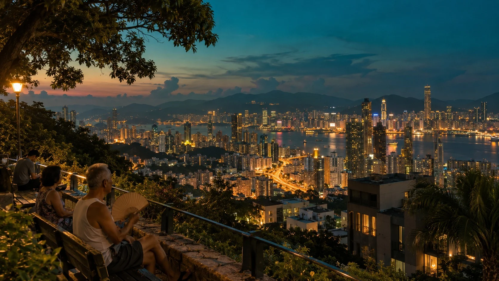
After sunset the story changes. Suburban fields cool quickly, but city buildings and paving keep releasing the heat they stored by day and warm the air through the night. That is why, as Howard already noted two centuries ago, the air-temperature gap grows larger after dark.
Calm, clear weather strengthens the island; cloudy or windy days weaken it. Summer-night heat islands stretch tropical nights and steal recovery time for the body; during heat waves they raise heat-related illness and cooling electricity demand together.
Ways to Cool a City—and Their Limits
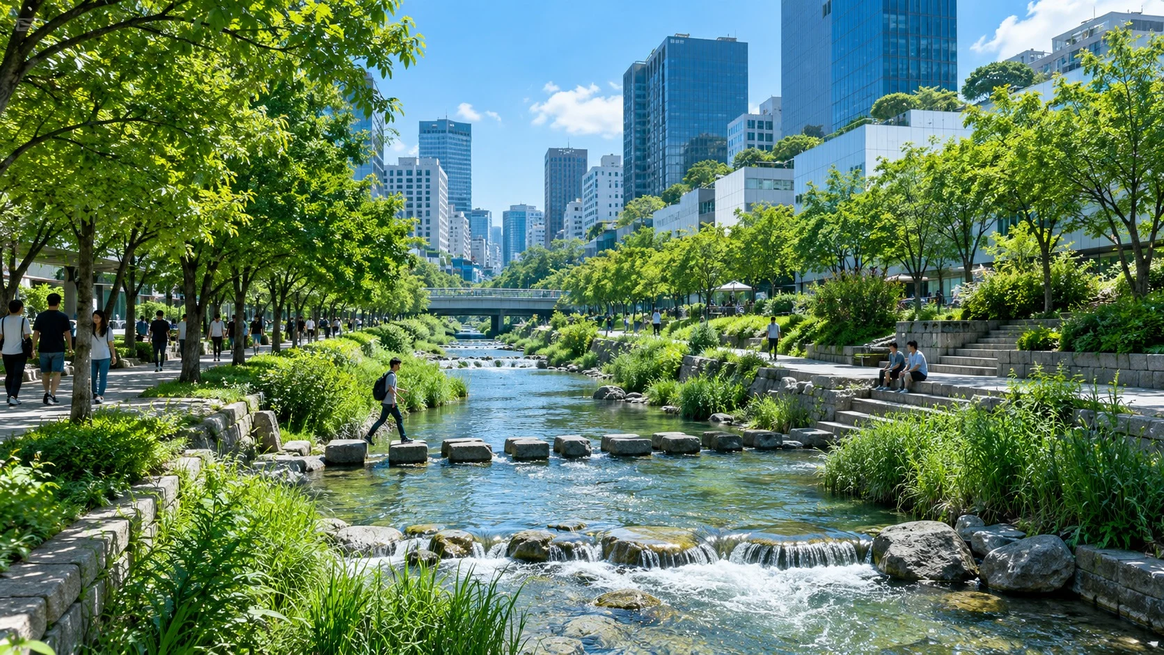
Because cities create the pattern, city design can also shrink much of it. Common mitigation strategies include the following.
- Cool Roof: roofs with high solar reflectance and thermal emittance that lower indoor and outdoor temperatures and cooling demand together.
- Urban Greening: shade and transpiration from trees and green space—often the surest way to cut how hot a street feels.
- Cool Pavement: reflective or permeable paving that lowers road-surface temperatures.
- Blue Space: rivers and water features that cool surroundings through evaporation and breeze corridors.
Seoul’s Cheonggyecheon is a frequently cited case. After the 2005 restoration removed an elevated highway and reopened the waterway, analyses have reported air temperatures near the stream about 3–6°C lower than on roads a few blocks away.
No single fix works everywhere. Reflective paving between high-rises can bounce light onto pedestrians and walls, raising daytime felt heat or glare. Cool roofs can slightly raise winter heating needs in cold climates, and trees need soil, water, and years to grow. So a mix matched to each place matters more than one technology alone.
The urban heat island shows that a city’s vast built environment handles sunlight and heat differently from nature. An observation first written down in London in 1818 is now a core idea guiding urban planning and public health in an age of heat waves.
Looking once more at the roof colors, tree shade, and wind paths in your own neighborhood is a first step toward cooling the island—and building a healthier city.